Where is Chamonix? Location, nearest airports and distances from Geneva
Chamonix is in France, in the Haute-Savoie Alps, squeezed between Switzerland and Italy at the foot of Mont Blanc. Where exactly, how high, which airport to fly into and how far it is from its neighbours.
Chamonix is in France. The town, officially Chamonix-Mont-Blanc, lies in the Haute-Savoie department of the Auvergne-Rhône-Alpes region, at the foot of Mont Blanc, in a narrow valley that touches Switzerland to the north-east and Italy to the south-east.
By road it is about 88 km from Geneva airport, which is why most international visitors fly into Switzerland to reach a French resort. Here is where Chamonix sits, how high, which airports serve it and how far its neighbours are.
Is Chamonix in France, Switzerland or Italy?
France, without ambiguity. The confusion comes from its position: the nearest big airport is Geneva, in Switzerland, the Swiss border is a few kilometres beyond the end of the valley, and Italy is on the other side of the Mont Blanc tunnel.
| Question | Answer |
|---|---|
| Country | France |
| Region and department | Auvergne-Rhône-Alpes, Haute-Savoie (74) |
| Mountain range | Mont Blanc massif, northern French Alps |
| Altitude of the town | About 1,035 m, depending on where you measure |
| Swiss border | beyond Vallorcine, at the top of the valley, towards Martigny |
| Italian border | through the 11.6 km Mont Blanc tunnel, towards Courmayeur |
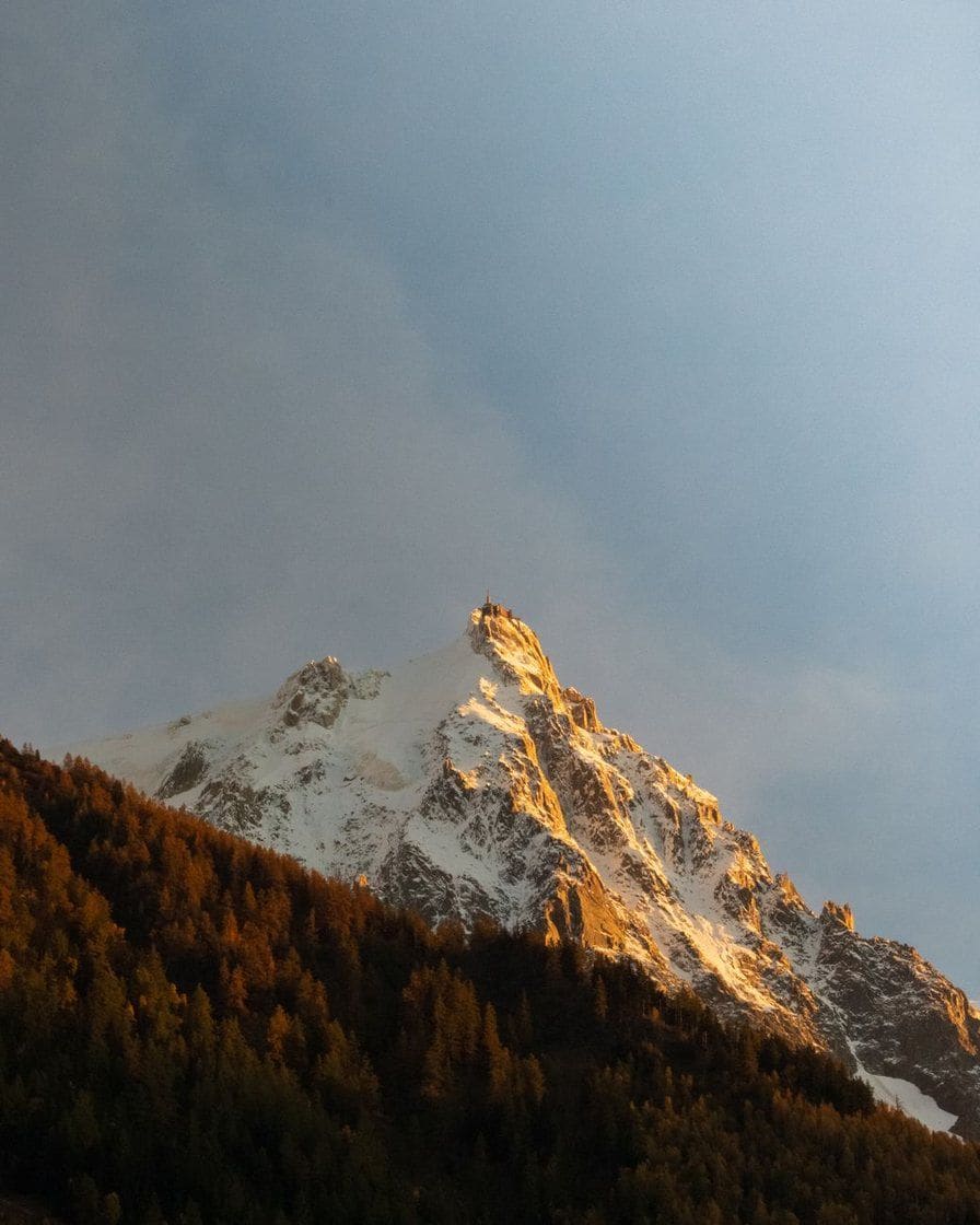
| Mont Blanc summit | 4,807.47 m at the 2025 survey, about 8 to 10 km from the town as the crow flies |
The height of Mont Blanc moves with its ice cap: the 2023 survey gave 4,805.59 m. Both figures are right for their year, which is why you will see different numbers in different guides.
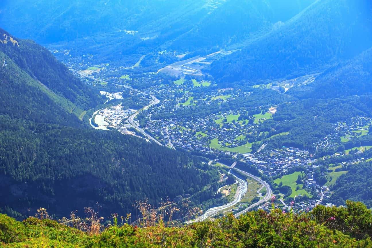
Photo: Murray Foubister, CC BY-SA 2.0, via Wikimedia Commons
What are the nearest airports to Chamonix?
Geneva, by a long way. The others make sense only if the flights or the fares are much better for your dates.
| Airport | Road distance | Usual driving time | Worth it? |
|---|---|---|---|
| Geneva (Switzerland) | 85 to 100 km | 1 hr 15 min to 1 hr 45 min | the default choice, longer on winter Saturdays |
| Chambéry (France) | 130 to 145 km | 1 hr 45 min to 2 hr 30 min | seasonal ski flights only |
| Turin (Italy) | 170 to 200 km via the tunnel | 2 hr 30 min to 3 hr 30 min | if the fare is much cheaper, plus the tunnel toll |
| Lyon Saint-Exupéry (France) | 220 to 235 km | 2 hr 30 min to 3 hr 30 min | many UK routes, long transfer |
| Grenoble (France) | 220 to 240 km | 2 hr 45 min to 3 hr 45 min | seasonal flights, rarely the best option |
From the UK, Geneva is the obvious gateway. For winter 2026-2027, Jet2 alone announced Geneva flights from nine UK airports from mid-December, with up to 8 flights a week from Manchester, and other airlines fly from London all year.
Routes change from one season to the next, so check with the airline for your dates. From the airport, you have the choice between a booked transfer, covered in Geneva airport transfers to Chamonix, and the bus, train or rental car, compared in Geneva to Chamonix.
Arriving from Geneva, the valley starts at Les Houches. Central Chamonix suits a stay without a car; Les Houches, the first village on the road, is often cheaper and shortens the drive at the end of a travel day.
See places to stay in Chamonix →See places to stay in Les Houches →Partner links: booking through them supports the site at no extra cost to you.How far is Chamonix from Geneva, Annecy, Courmayeur and Zermatt?
| From Chamonix to | Road distance | Usual time without traffic |
|---|---|---|
| Geneva | 85 to 100 km | 1 hr 15 min to 1 hr 45 min |
| Annecy | 95 to 105 km | 1 hr 15 min to 1 hr 45 min |
| Lyon | 220 to 235 km | 2 hr 30 min to 3 hr 30 min |
| Courmayeur (Italy) | 25 to 35 km through the tunnel | 35 to 50 min, plus any wait at the tunnel |
| Martigny (Switzerland) | 55 to 65 km over the Col des Montets | 1 hr to 1 hr 30 min |
| Zermatt (Switzerland) | 140 to 180 km, with a change of transport | 3 hr 30 min to 5 hr or more |
Courmayeur is the closest neighbour, but the tunnel is a toll road: €55.50 one way for a car in 2026, details in our Mont Blanc tunnel page. Without a car, the Skyway cable car crosses the massif to the Italian side in summer, see Pointe Helbronner and the Skyway.
Zermatt is not a simple drive: the village is car-free, so the last stretch is by train from Täsch. Martigny depends on the Col des Montets road, which winter weather can make slow or temporarily closed.
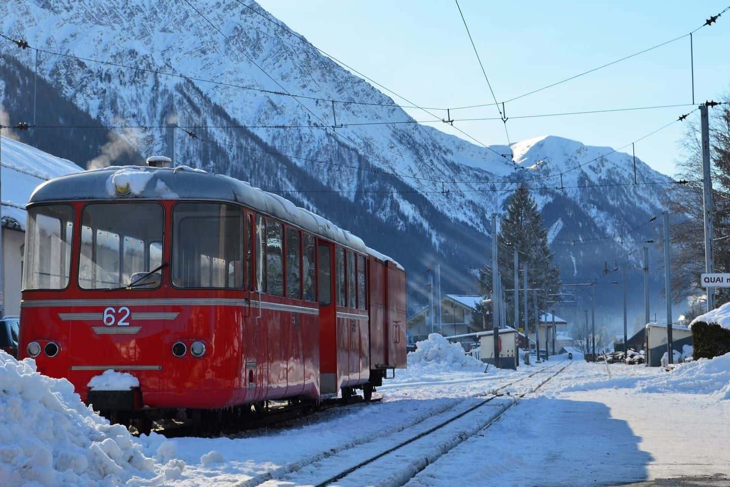
Photo: Ercan Evcimen, via Pexels
Where are Les Houches, Argentière and Vallorcine?
Chamonix is not one village but a valley about twenty kilometres long, strung along the Arve. Coming from Geneva, you pass Les Houches first, then reach the centre; the road then climbs to Les Praz, Argentière and Vallorcine, near the Swiss border.
| Village | Position | Distance and time from the centre |
|---|---|---|
| Les Houches | west, towards Geneva | 6 to 8 km, 10 to 15 min |
| Argentière | north-east, below Les Grands Montets | 8 to 10 km, 15 to 20 min |
| Vallorcine | far north-east, by the Swiss border | 15 to 20 km, 25 to 35 min |
These times can double on a holiday Saturday. The Mont-Blanc Express train links the villages along the valley, and the local buses serve the lifts: see getting around Chamonix and the character of each village in the valley villages. A drawn map is in our Chamonix map.
Do you need a car to get there?
No. Geneva airport is linked by shared and private transfers, long-distance buses and a train route with changes, and the valley has its own buses and train. A car helps for a touring trip or for chalets far from a stop.
If you drive, French mountain law requires winter tyres, or chains or snow socks on board, from 1 November to 31 March, and the A40 motorway toll costs €10 to €15 per trip. Parking options are in parking in Chamonix.
Without a car, check the last train: the evening Mont-Blanc Express leaves around 8:40pm. All the access routes, including Paris and Lyon, are in how to get to Chamonix.
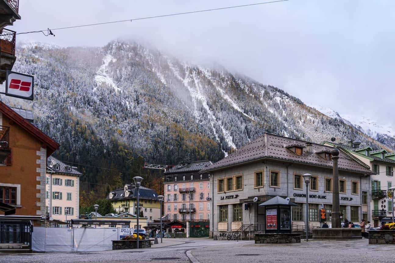
Photo: Abhishek Navlakha, via Pexels
How high is Chamonix, and how high do the lifts go?
The town sits at about 1,035 m, lower than many purpose-built ski resorts, which is why the valley floor is green in summer and can be short of snow in a mild winter. The mountains rise straight above it.
The Aiguille du Midi cable car climbs from the town to 3,842 m, about 2,800 metres higher, in about twenty minutes. It is the closest most visitors get to Mont Blanc: see our Aiguille du Midi guide.
For skiing or hiking at the top of the valley, stay up the valley. Argentière is at the foot of Les Grands Montets and close to Balme, with the Mont-Blanc Express and buses down to central Chamonix.
See places to stay in Argentière →Partner link: booking through it supports the site at no extra cost to you.To decide when to come, read the best time to visit Chamonix; for the summer season, Chamonix in summer. More practical pages are in the Practical section.
Sources
Sources: Chamonix Tourist Office (how to get here, access by road and train, compulsory winter equipment), Ville de Chamonix-Mont-Blanc, surveys of the height of Mont Blanc (2023 and 2025, Haute-Savoie), Mont Blanc tunnel 2026 tolls, SnowSportsNews (Jet2 winter 2026-2027 programme, July 2025), Chamonix Mobilité and Mont-Blanc Express timetables.
Road distances and times are ranges, because they depend on the starting point in each town and on traffic; the altitude of the town varies with the point chosen. Airline routes change from season to season and no permanent list of direct UK flights is published. Research carried out on 27 and 28 October 2026.
Frequently asked questions
Is Chamonix in France or Switzerland?
What is the closest airport to Chamonix?
How far is Chamonix from Geneva?
Is Chamonix near Italy?
What altitude is Chamonix?
Can you get to Chamonix without a car?
Nathalie Perroud
Nathalie spent six years on the front desk of a hotel near Chamonix station, answering the same questions every day about shuttles, the Montenvers train and parking. She writes the pages she would have liked to hand to her guests. She checks every price with the operator, never in a guidebook.